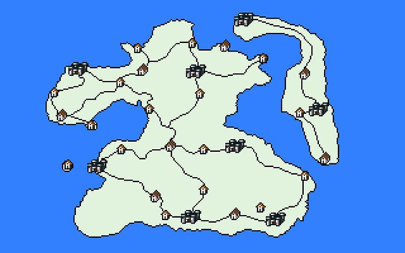
Ficheiro:AR-map-Summurset Isle Political.jpg

Tamanho desta antevisão: 800 × 500 píxeis. Outras resoluções: 1 024 × 640 píxeis | 2 560 × 1 600 píxeis.
Ficheiro original (2 560 × 1 600 píxeis, tamanho: 81 kB, tipo MIME: image/jpeg)
Summary
Political Map of Summurset Isle Region, no annotation. For use with Image Marks
Licensing
 |
This image was created for use on UESP using components taken from the Elder Scrolls series of video games or from websites created and owned by Bethesda Softworks. The copyright for the components is held by Bethesda Softworks while the copyright for this particular composition is held by UESP. It is available for use under the same Attribution-ShareAlike 2.5 License as our text content. For further details, see our copyright policy. |  |
Histórico do ficheiro
Clique uma data e hora para ver o ficheiro tal como ele se encontrava nessa altura.
| Data e hora | Miniatura | Dimensões | Utilizador | Comentário | |
|---|---|---|---|---|---|
| atual | 03h32min de 1 de maio de 2013 |  | 2 560 × 1 600 (81 kB) |
Uso do ficheiro
This file is not embedded on any pages. Please check What Links Here for other links to this file.